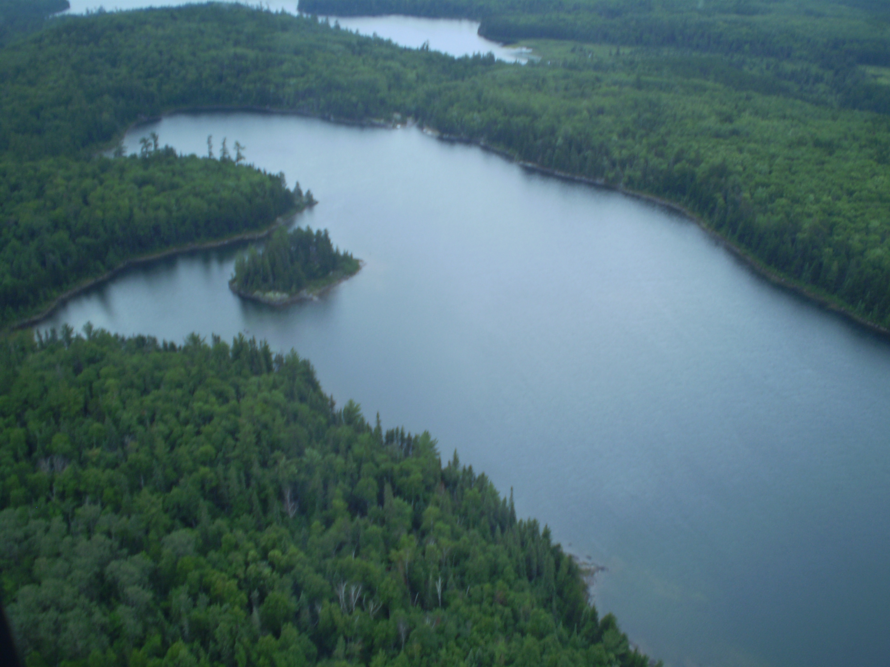
Hegyi Geomatics has been conducting research and development in forest growth and yield models, forest carbon management, ecosystem services, environmental monitoring and assessment and climate change, since its inception in 1990. In the recent years, it has focused to develop a fully operational decision making support tools in forest and environment management, by incorporating resource inventory and monitoring, analysis, modelling and forecasting capacity.
Hegyi Geomatics develops cost effective inventory design and information collection techniques through automating manual data collection and analysis process. The ecosystem models are calibrated and evaluated to explain observed information. Later, a framework integrating field based information, ecosystem models and satellite imageries are developed. This not only reduces the cost of information acquisition and analysis, but also provides the temporal and spatial information using minimal data sets. It further enables to extract information which is very difficult to measure in the field like soil carbon and physiological changes. This information can be linked to environmental factors and management interventions to assess their impacts on forest growth and development, which ultimately assist in estimating overall benefits including social, economic and ecological benefits.
We develop user friendly data integration application to create seamless data sets, including GIS based maps. A web based tools to extract and visualize forest and environment based information meeting user’s expectation can be developed to assist natural resource managers for the management of sustainable resources.


