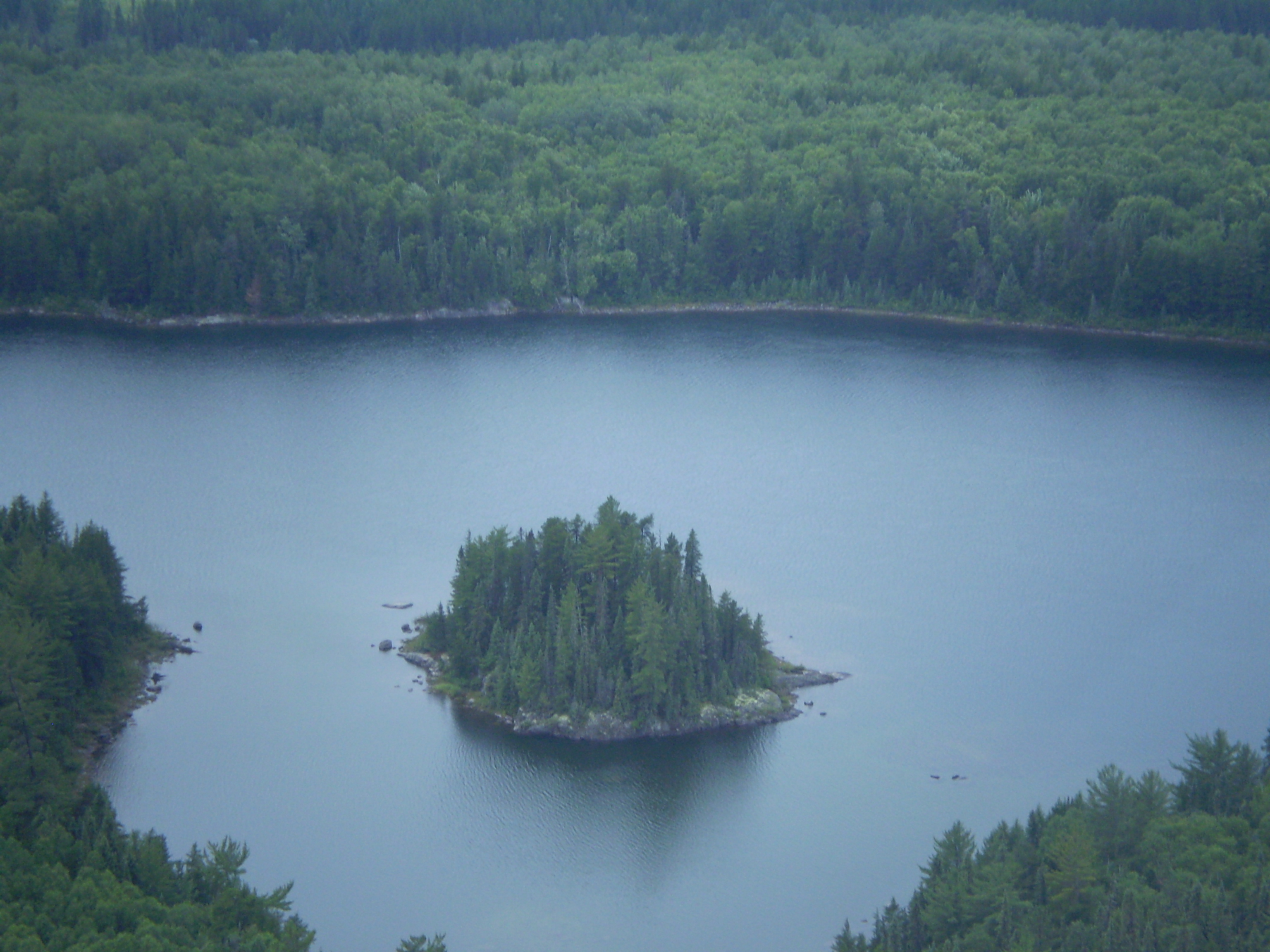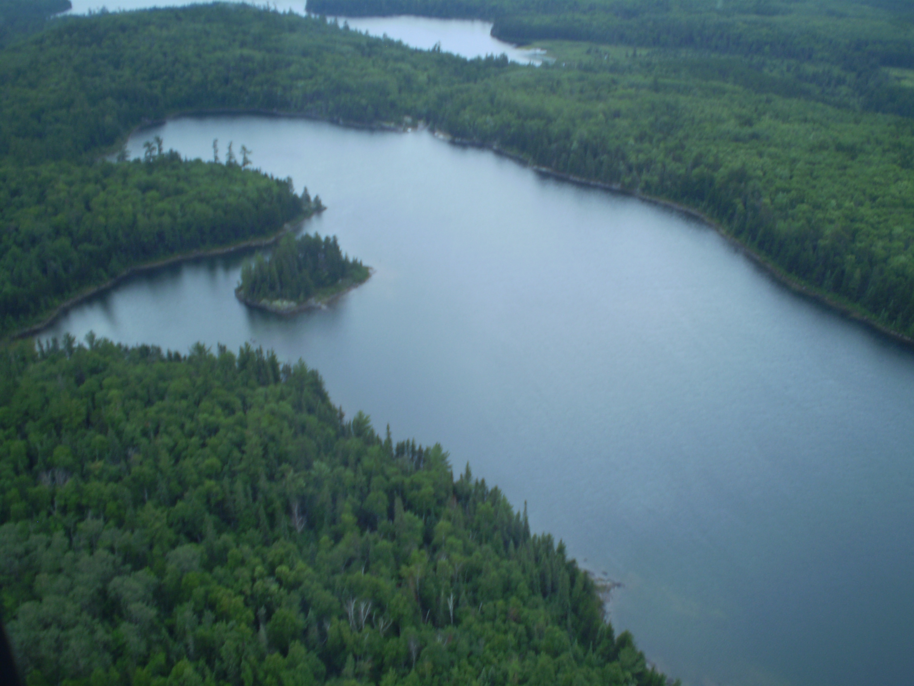
Hegyi Geomatics excels in designing, developing and implementing decision support systems in natural resources and environmental management. Our strong focus is to integrate forest resource inventory, ecosystem models, GIS and remote sensing to generate seamless data. We provide services in applications of GIS, remote sensing and ecosystem modelling techniques in assessing, monitoring and managing natural resources and environment. Our other areas of expertise are in information technology, emergency preparedness, mobile business operations and aerospace etc.
Geographic Information Systems (GIS) and Remote Sensing
| • | Information collection, database design and management |
| • | Image acquisition, processing and analysis |
| • | Spatial analysis and modelling, mapping and reporting |
| • | Customize GIS application and services fulfilling users’ |
| need also develop web and mobile apps | |
| • | Enabling decision makers to take quick and accurate decisions by |
| providing reliable spatial data and information |
Forest Resource Inventory and Monitoring
| • | Planning, design and evaluation of forest inventory programs |
| • | Design cost effective sampling system using remote sensing and GIS |
| • | Tree and stand growth projections |
| • | Database preparation, evaluation and management |
| • | Conducting or facilitating in feasibility study, project piloting, |
| project implementation and management | |
| • | Training on forest inventory, statistical analysis, GIS, |
| ecosystem modelling and satellite image analysis |
Ecosystem Modelling and Forest Carbon Management
| • | Design cost effective information collection systems combining field/ground |
| based information with remote sensing data |
|
| • | Automate information collection, database creation, |
| database management and analysis process | |
| • | Design computer models to simulate ecosystem services (i.e., carbon sequestration |
| climate change, nutrient and energy balance) | |
| • | Integrate field information, ecosystem models, GIS and remote sensing to |
| produce seamless data for past, present and future | |
| • | Develop multi-criteria decision making tools for effective planning, |
| designing and implementation of projects |
Emergency Preparedness
| • | GIS based asset management of emergency supplies |
| • | Tracking first responders using GPS and wireless data transmission |
| (seamless switch between terrestrial and satellite based infrastructures) | |
| • | Disaster management logistics software for Monitoring/Command Centers |
Mobile Business Operations
| • | Tracking mobile units and displaying their positions on street level digital maps |
| • | Providing access to corporate databases in the field through wireless data |
| transmission, including data collection on electronic forms |
Information Technology
| • | Management consulting services |
| • | Special IT projects |
| • | IT managed services |
Aerospace
| • | Prognosis health management of aerospace systems |
| • | Predicting the health of aero-engines and maintaining a |
| safe and reliable life of aircrafts |